Tennessee’s rolling terrain, river valleys, and heavy seasonal rainfall mean water is one of the first things any barndominium project has to account for. A parcel that looks perfectly buildable can still sit inside a mapped floodplain, hold poor natural drainage, or occupy a low point that collects runoff from everything uphill. Understanding how these factors are regulated, and how they shape site work and foundation choices, helps property owners avoid costly surprises before construction begins.
Why Water Management Matters So Much for Tennessee Barndominiums
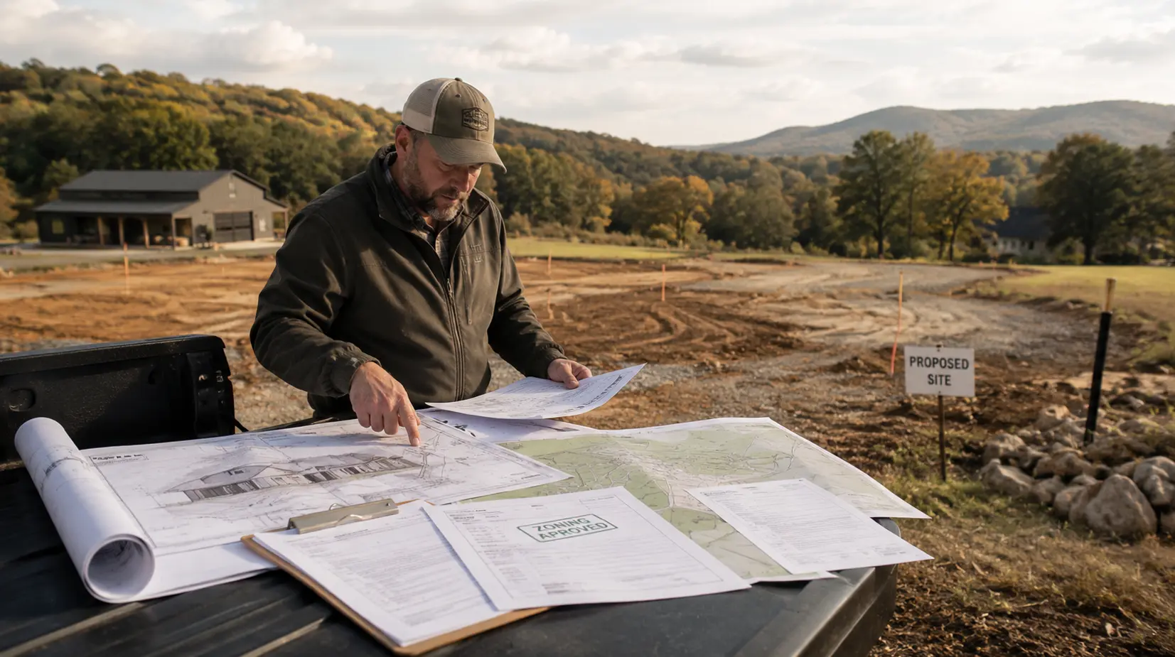
Barndominiums are typically built on rural or semi-rural land, which means they often sit on parcels that have never been engineered or graded before. Unlike a subdivision lot with municipal stormwater infrastructure already in place, raw land leaves water management entirely up to the site plan. Add in Tennessee’s clay-heavy soils in many counties and its pattern of intense spring rainfall, and drainage quickly becomes one of the most consequential decisions in the entire build.
Getting this wrong does not just create a wet yard. Water that pools near a foundation leads to slab moisture problems, accelerates deterioration in post-frame structures, and can undermine footings over time. This is why drainage planning belongs at the very start of the process, alongside land selection and site evaluation in Tennessee, rather than something addressed after the building is already framed.
Understanding Floodplains and FEMA Flood Zones
A floodplain is any area with a meaningful chance of flooding during a given year, based on historical data and hydrological modeling. The Federal Emergency Management Agency, or FEMA, maps these areas on Flood Insurance Rate Maps, commonly called FIRMs, using zone designations that describe the level of risk.
The most important designation for property owners is the Special Flood Hazard Area, or SFHA. This includes any zone labeled with an A or a V, and it represents land with at least a one percent annual chance of flooding, often referred to as the 100-year floodplain. Land inside an SFHA is subject to federal floodplain management rules through the National Flood Insurance Program, or NFIP, and typically requires mandatory flood insurance for any federally backed mortgage.
Other zone types show up on Tennessee flood maps as well:
- Zone X (shaded), an area of moderate risk generally between the 100-year and 500-year flood limits
- Zone X (unshaded), an area of minimal flood hazard above the 500-year flood level
- Zone AE, a high-risk area where a base flood elevation has been calculated
- Floodway, the central channel portion of a floodplain that must remain clear to carry floodwater
Checking a property’s flood zone status early is one of the simplest ways to avoid a mismatch between what a buyer expects and what the land will actually allow.
The Floodplain Development Permit Process in Tennessee
Tennessee state law, under Title 13, Chapter 7 of the Tennessee Code, delegates floodplain management authority to local governments, which is why the specific process varies somewhat by city and county. Almost universally, though, any construction, grading, filling, or excavation within a designated flood hazard area requires a Floodplain Development Permit before a standard building permit can even be issued.
This permit process generally involves:
- Submitting a site plan showing the proposed structure’s location relative to the mapped flood zone
- Providing elevation data for the lowest floor of the proposed building
- Demonstrating that the design meets the community’s minimum floor elevation requirements
- In some counties, obtaining an Elevation Certificate before or during construction to document compliance
Local floodplain administrators can also set standards that go beyond the federal minimum. Several Tennessee counties require new buildings to sit one foot above the 100-year flood elevation, while some jurisdictions add extra protection by requiring elevation above the 500-year flood level as well. This is one of several ways that permitting expectations shift depending on where in the state a project is located, a theme covered further in our guide to city vs county rules for buildings in Tennessee.
What Building in a Flood Zone Actually Requires
Building inside an SFHA does not automatically disqualify a barndominium project, but it does change how the structure has to be designed. Federal rules restrict certain construction types outright and require others to meet elevation or floodproofing standards. Common requirements include:
- Elevating the lowest floor above the community’s required flood elevation, often using fill, piers, or raised foundations
- Using flood-resistant materials below the base flood elevation, where enclosed areas are allowed
- Anchoring the structure to resist flotation, collapse, and lateral movement during a flood event
- Avoiding full basements in high-risk zones, since below-grade space on all sides is generally prohibited without rare FEMA approval
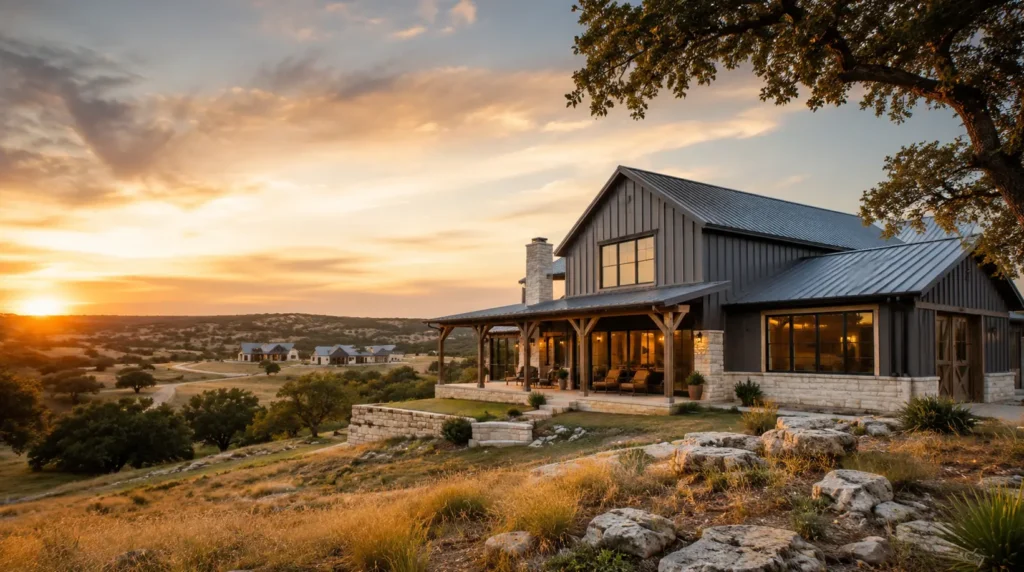
Because of these constraints, most flood-zone barndominiums end up on pier foundations, crawlspaces, or slabs raised well above grade rather than the ground-level slab common on unrestricted rural sites. These design decisions ripple into barndominium floor plans in Tennessee, since elevated foundations change how entries, garages, and utility rooms are typically laid out.
Let’s discuss what building a barndo in a flood zone requires.
Low-Lying Land That Isn’t in a Mapped Floodplain
Not every drainage problem shows up on a FEMA map. Plenty of Tennessee parcels sit outside any designated flood zone yet still occupy a natural low point, a shallow depression, or the base of a slope where water from higher ground collects. This kind of site can flood or hold standing water after a heavy rain even though no federal regulation applies to it.
The difference matters practically, not just legally. A mapped floodplain triggers a permit process and design requirements automatically. A low-lying but unmapped site relies entirely on a buyer or builder recognizing the risk during site evaluation, since there is no regulatory flag forcing the issue. Walking a property after rainfall, checking for erosion patterns, and reviewing county drainage complaints in the area are practical ways to catch this before it becomes a construction problem.
Grading and Site Drainage for Barndominium Construction
Proper grading is the foundation of good drainage, whether or not a site sits anywhere near a floodplain. The general principle is straightforward: the ground around a structure should slope away from it in every direction, typically at a minimum of about five percent, or roughly six inches of drop over the first ten feet.
Achieving that on a real piece of land usually involves a combination of tools:
- Rough grading to establish positive fall away from the building pad
- Swales, shallow graded channels that redirect surface water around or away from the structure
- French drains, gravel-filled trenches with perforated pipe that collect and carry water away from the foundation
- Culverts, where water needs to pass safely under a driveway or access road
- Retaining walls or berms on sloped sites, to control runoff and prevent erosion
On heavier clay soils, which are common across much of Middle Tennessee, standing water can linger long after a storm because the ground simply absorbs it slowly. In these conditions, a stabilized building pad with compacted aggregate is often used to keep construction on schedule and prevent equipment from getting stuck during wet periods.
Foundation Choices Driven by Drainage and Flood Risk
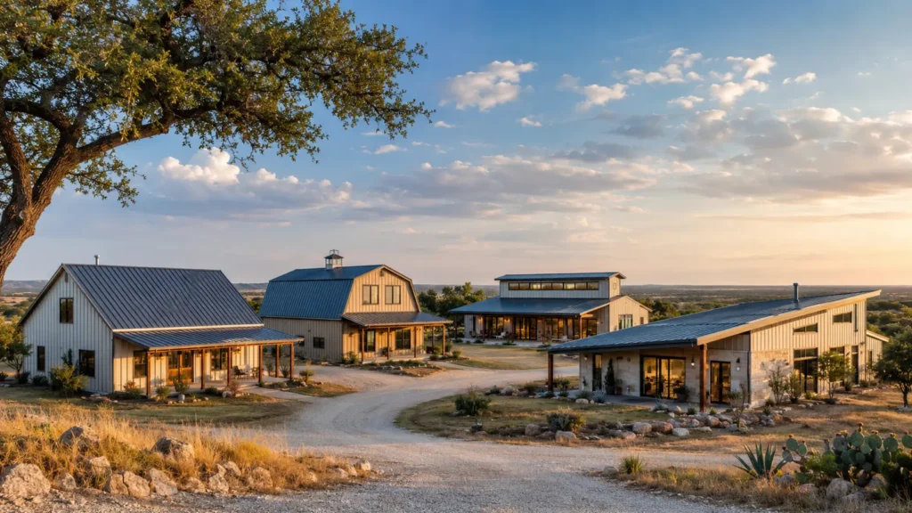
The foundation type a barndominium ultimately uses is heavily influenced by site drainage and flood exposure, not just personal preference. The three most common approaches each respond differently to water:
- Concrete slab on grade, the most common and cost-effective option on flat, well-drained land outside flood zones
- Perimeter foundation with stem walls, which raises the living space above grade and performs better on sloped or flood-prone sites
- Pier or post foundations, standard in post-frame construction and often required or preferred in flood-hazard areas since they elevate the structure while allowing floodwater to pass beneath it
A geotechnical soil test typically informs this decision alongside the flood and drainage assessment, since stable, well-draining soil supports standard foundation designs while clay-heavy or poorly compacted soil may call for deeper footings or engineered fill.
Here’s a complete guide on barndominium costs for Tennessee.
Common Mistakes Property Owners Make With Flood and Drainage Risk
Several recurring mistakes cause avoidable delays or expensive rework on Tennessee barndominium projects:
- Assuming a property is safe from flooding simply because it has never flooded in the owner’s memory
- Skipping a FEMA flood map check before making an offer on land
- Treating drainage as a landscaping detail to handle after the structure is built, rather than part of the site plan
- Choosing a foundation type before understanding the site’s flood zone status and soil conditions
- Underestimating how much clay-heavy Tennessee soil can slow water absorption compared to sandier or rockier ground
Most of these mistakes trace back to treating water management as a secondary concern instead of a design driver from day one. Builders who evaluate flood risk, drainage, and soil together, rather than as separate steps handled by different parties, tend to catch conflicts before they turn into change orders.
Contact us to avoid common mistakes that property owners make
Regional Differences Across Tennessee
Flood and drainage risk is not uniform across the state. River-adjacent counties, areas near Nashville’s tributary creeks, and parts of East Tennessee’s mountainous terrain each present different challenges. A site near Knoxville may deal with steep grades and fast-moving runoff, while flatter ground elsewhere in the state often needs broader grading work to move standing water off a low-lying lot.
Terrain around Middle Tennessee, including areas like Franklin, tends to lean toward heavier clay soils that hold water longer after a storm.
Because local floodplain administrators set their own permit thresholds and elevation standards on top of the federal baseline, the exact process can differ meaningfully even between two counties that border each other. This kind of variation is part of why building conditions in Tennessee are not interchangeable from one part of the state to another, a point explored further in our guide to what makes building a barndominium in Tennessee different from other states.
Conclusion
Floodplain status, natural drainage, and low-lying terrain shape far more of a Tennessee barndominium project than most first-time land buyers expect, from which permits are required to which foundation type actually makes sense. Checking flood maps early, walking the land after rainfall, and treating grading as part of the design rather than an afterthought all reduce the risk of expensive surprises once construction is underway. Property owners who understand these factors before buying land are in a much stronger position to plan a build that stays dry, stable, and on schedule.
Frequently Asked Question
How do I find out if my land is in a floodplain in Tennessee?
You can check FEMA’s Flood Map Service Center online using the property’s address, or contact the local building or floodplain administration department, many of which offer free flood zone determinations. It is worth checking before making an offer on land, not after.
Can you build a barndominium in a flood zone?
Yes, but the design has to meet federal and local floodplain requirements, which usually means elevating the lowest floor above the base flood elevation and avoiding full basements. A Floodplain Development Permit is required before a standard building permit can be issued.
What is the difference between a 100-year and a 500-year floodplain?
A 100-year floodplain has at least a one percent chance of flooding in any given year, while a 500-year floodplain has a lower, roughly 0.2 percent annual chance. Some Tennessee counties apply extra elevation requirements for the 500-year zone as added protection beyond the federal minimum.
Why does my land pool water even though it’s not in a floodplain?
Many low-lying or poorly graded sites collect standing water without being part of any FEMA-mapped floodplain, especially on Tennessee’s heavier clay soils. This is a drainage and grading issue rather than a regulated flood risk, but it can still cause foundation problems if it isn’t addressed in the site plan.
What foundation is best for a barndominium on a flood-prone or low-lying site?
Pier or post foundations, and perimeter foundations with raised stem walls, generally perform better than a standard slab on flood-prone or poorly drained land, since they elevate the structure above grade. The right choice depends on the site’s soil conditions and flood zone status.